West Papua Information Kit


Where is West Papua
 North of Australia is Papua, or the German name New Guinea,
the fertile heart of the Australian continent -
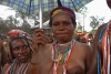
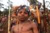
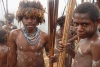
Papua is a land of kangaroos, echidna, and surrounded by the Pacific Ocean.
Now with a political line drawn down the middle dividing the island
into two nations,
West Papua and Papua New Guinea (PNG) in the east.
North of Australia is Papua, or the German name New Guinea,
the fertile heart of the Australian continent -
Papua is a land of kangaroos, echidna, and surrounded by the Pacific Ocean.
Now with a political line drawn down the middle dividing the island
into two nations,
West Papua and Papua New Guinea (PNG) in the east.
Standard Oil (Rockefellers) in 1936 discovered West Papua (then Netherlands New Guinea) had the world's richest gold & copper deposits. During the Pacific war Papua was the Ally nation where General MacArthur with Papua support built MacArthur's headquarters and twenty US bases. After the war Sukarno (an Indonesian Axis leader during the war) began demanding possession of the half which the Rockefeller Freeport Sulphur corporation wanted to mine.
In 1960 fellow Freeport director Robert Lovett suggested his protégée McGeorge Bundy be the United States National Security Advisor under whom the NSC told John F Kennedy that West Papua had to be traded to Indonesia to buy Sukarno's loyalty.
People should not be sold, Nations should not be sold.
The US Department of State admitted this in 1995.
Despite this past mis-conduct of the United Nations, West Papua must call for the help of the United Nations to end the current occupation and subjugation.
In truth, legally, West Papua is a trust territory for which the UN members are jointly responsible under UN Charter Chapter XII and Chapter XIII; but that fact has been obscued during the past 54 years due to UN Secretariat failing to tell the Trusteeship Council about General Assembly resolution 1752. Resolution 1752 needs to be put on the agenda of the Trusteeship Council for the Council to become officially aware of the UN decision to occupy and subjugate West Papua.
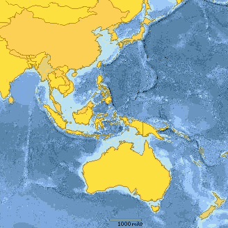
Here you see a map showing the region's continental shelfs and the islands of Asia and continental Australia. For maps of West Papua please see the maps page.
The United Nations' world map (local copy) shows the lie which the UN and Indonesia are too embarassed to admit, that West Papua is a Pacific COLONY of an Asian power. The Pacific people of West Papua should be allowed freedom from the foreign military and mining. Carstensz Pyramid is the highest mountain in continental Australia, yet this limestone peak piercing the equatorial snowline is also kept out of the media and public awareness for fear that the world might ask which continent it is part of.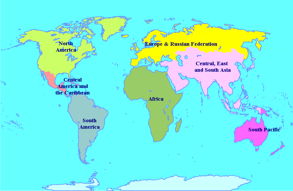
- Edmund Burke (1729-1797)
Home